-
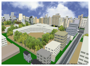


Models for building shapes and roads are based on survey data, lights, guardrails, and other details are shown as well. In particular, given their importance for navigation, intersections are depicted realistically. Walk eye Map maintains a vast range of data to create 3D images.